
Sovereignty starts with control of the intelligence architecture
Sponsored Content
By Vantor
•Jun 25, 2026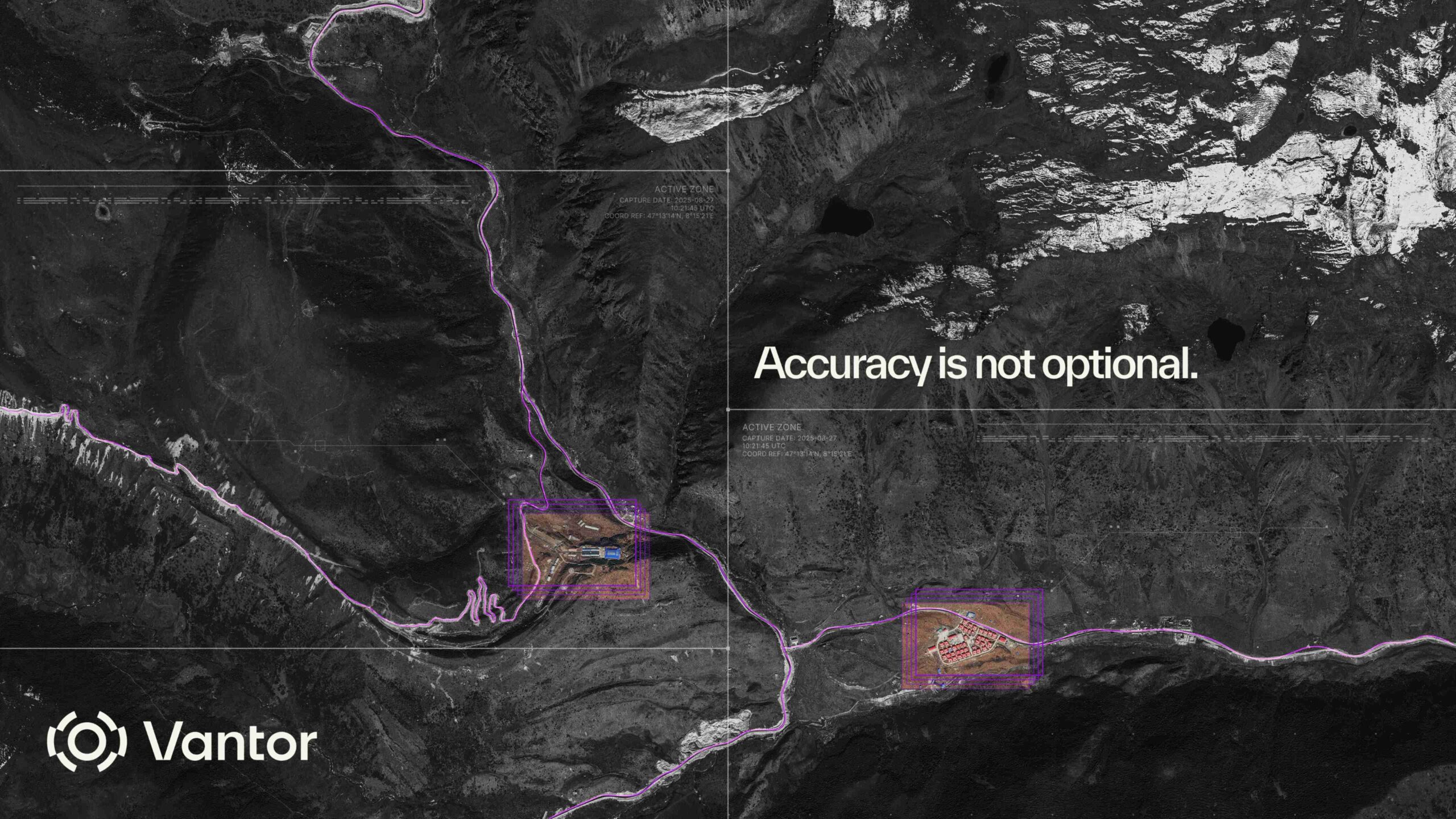
The Indo-Pacific is entering a new era of defence modernisation. Across the region, governments are accelerating investment in sovereign intelligence capabilities to strengthen deterrence, secure maritime borders, and prepare for increasingly contested operating environments. But the operational challenge is no longer simply acquiring satellites. Modern intelligence is fragmented across disconnected systems, sensor feeds, and workflows. Electro-optical imagery, synthetic aperture radar (SAR), drones, maritime tracking systems, airborne ISR platforms, and tactical edge sensors all generate different signals about the same operating environment. The challenge is turning those signals into a trusted operational picture fast enough to matter. That is the problem Vantor’s Tensorglobe platform was built to solve. Tensorglobe combines Vantor’s industry-leading high-resolution imaging constellation, highly accurate 2D and 3D spatial foundation, and operational software into a unified spatial intelligence architecture. The platform enables governments to fuse sovereign and commercial sensors into a single system anchored to a trusted ground truth. It is an operational intelligence system designed to help governments build sovereign ISR architectures that operate at mission speed. Vantor’s Tensorglobe platform empowers nations with a sovereign, end-to-end spatial intelligence system that connects every human and machine to the same ground truth. Sensors don’t create operational advantage on their own For years, sovereign ISR strategies focused primarily on acquiring and operating national satellite capacity. Owning sovereign collection systems that integrate multiple sensor types provides assured access, operational independence, and greater control over sensitive missions. A maritime patrol mission might combine SAR for all-weather vessel detection, high-resolution electro-optical imagery for classification, AIS data for vessel attribution, and drone-based ISR for close-range confirmation. A tactical operation may require real-time fusion between space-based intelligence, aerial video feeds, and ground systems operating in GPS-denied environments. The operational problem emerges when these systems cannot work together as one. Across the Indo-Pacific, this challenge is becoming increasingly visible in maritime domain awareness, border security, and multi-domain command-and-control operations. Intelligence still moves through disconnected workflows: tasking in one system, processing in another, analysis conducted manually across multiple interfaces, and dissemination delayed by incompatible architectures. The result is fragmentation at exactly the moment speed and clarity matter most. Vantor’s high-resolution spatial intelligence provides nations with access to real-time insights about critical activity to support a wide range of defence, intelligence, and humanitarian missions. Sovereignty requires control of the full system True sovereignty comes from controlling the architecture that orchestrates collection, fuses intelligence, maintains a trusted ground truth, and deploys that intelligence securely across the operational environment. That architecture must unify the full intelligence cycle, from tasking and collection to fusion and production through analysis and dissemination. Most importantly, it must preserve a single, continuously updated understanding of reality across every sensor and workflow. Without that shared ground truth, intelligence systems drift apart. Operators and autonomous systems begin making decisions from different versions of the battlefield. That divergence creates operational latency, and operational latency creates risk. A different model is now emerging across sovereign defense and intelligence programs. Rather than treating commercial and sovereign systems as separate ecosystems, nations are beginning to integrate them into unified intelligence architectures designed to operate as one system. Through Tensorglobe, governments can task sovereign and commercial assets together through a unified collection architecture. They can automate fusion across electro-optical, SAR, aerial, and ground-based systems. They can continuously update operational terrain as conditions change. And they can deploy these capabilities securely on-premises, in sovereign cloud environments, or at the tactical edge. Importantly, these systems are operational now. Building sovereign satellite constellations takes years. Operational demands do not wait for procurement timelines. Nations that can rapidly integrate sovereign infrastructure with trusted commercial capabilities gain immediate operational advantage while their long-term sovereign systems mature. Vantor supports more than 60 government partners worldwide with sovereign spatial intelligence capabilities. In Asia, governments are already integrating direct tasking of Vantor’s high-resolution satellite constellation into sovereign environments for secure collection, fusion, and dissemination. Other sovereign customers have deployed in-country 3D production capabilities that allow them to generate and maintain their own highly accurate operational terrain using both sovereign and commercial data sources. Importantly, these programs are accelerating and extracting more value from sovereign investments. The future of ISR is system-level The Indo-Pacific’s strategic environment will increasingly reward nations that can integrate sensors, systems, operators, and autonomous platforms into a unified intelligence architecture. The decisive factor will not be who owns the most satellites. It will be who can transform fragmented data into trusted, real-time operational clarity across every domain. In modern conflict, the advantage belongs to the nation that controls the ground truth. Vantor is already helping governments around the world build sovereign intelligence systems that deliver decision advantage at mission speed. Learn more and request a briefing here. For Editorial Inquiries Contact: Editor Kym Bergmann at [email protected] For Advertising Inquiries Contact: Group Sales Director Simon Hadfield at [email protected]
Previous article
Embraer signs support agreements for KC-390s
Comments
Loading comments...